
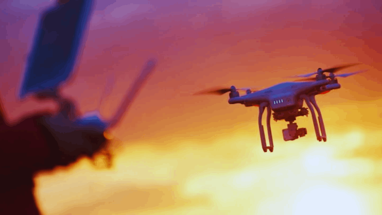
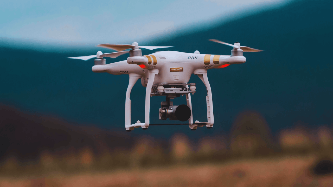
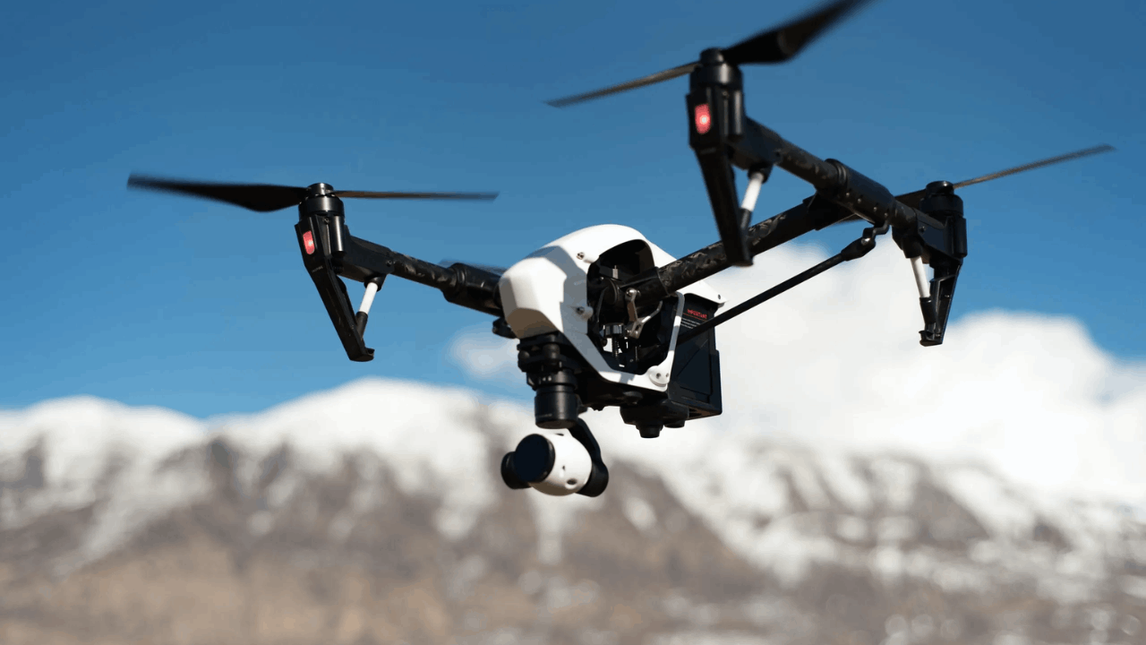
Modern applications are rapidly evolving as drone technology becomes more advanced, efficient, and intelligent across different industries.
Drones are no longer just aerial cameras or recreational tools—they now represent cutting-edge solutions for business, science, and emergency response.
With new developments appearing every year, 2025 is shaping up to be a transformative time for unmanned aerial systems. Understanding these latest innovations reveals how drones are shaping the future in meaningful and unexpected ways.
Advancing Autonomy and Real-Time Decision Making
Drones are becoming increasingly autonomous thanks to stronger onboard computing systems and improved machine learning capabilities.
These advancements allow drones to make decisions without relying on remote pilots for every movement or adjustment.
From obstacle avoidance to automated route optimization, drones are beginning to respond more naturally to their surroundings.
This shift enhances reliability, reduces human error, and expands the scope of drone missions.
Adaptive Navigation Supports Complex Environments
One of the key breakthroughs in modern drone technology is adaptive navigation powered by AI.
Drones can now scan and map their surroundings in real time to adjust flight paths dynamically. This allows them to operate effectively in environments with moving obstacles or unpredictable terrain.
The system continuously learns from its flight patterns, making each mission more efficient than the last.
Edge Computing Enables Onboard Processing
Edge computing allows drones to analyze data on the device itself instead of sending everything to the cloud.
This reduces latency and allows for faster responses during flight, especially during search-and-rescue or emergency missions.
Drones can now detect changes, track objects, or identify anomalies in real time. This ability makes them more useful in time-sensitive operations where immediate decisions are critical.
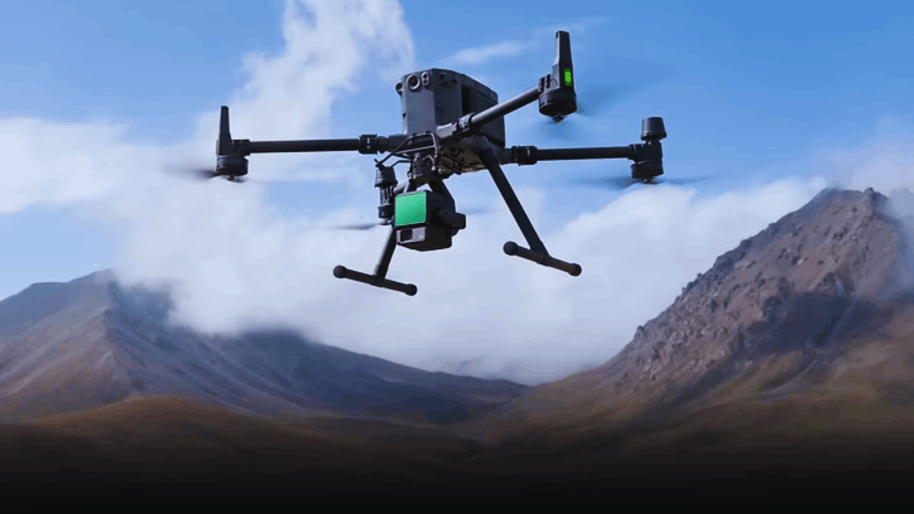
Enhanced Sensors Improve Object Recognition
New imaging systems and advanced sensors are providing clearer views of the environment.
These include multispectral cameras, LiDAR, and thermal imaging systems that improve how drones detect people, vehicles, or landscape changes.
With more accurate visual data, drones can perform inspections, deliveries, and monitoring tasks with greater accuracy. Object recognition continues to play a central role in expanding drone capabilities.
Transforming Commercial and Industrial Applications
Industries are adopting drones to increase efficiency, reduce costs, and improve safety across a wide range of operations.
These sectors include agriculture, construction, logistics, and energy, where drone technology enhances both planning and execution.
The integration of drones into traditional workflows is driving innovation and enabling smarter infrastructure management.
Each update in hardware and software opens new use cases and value for businesses.
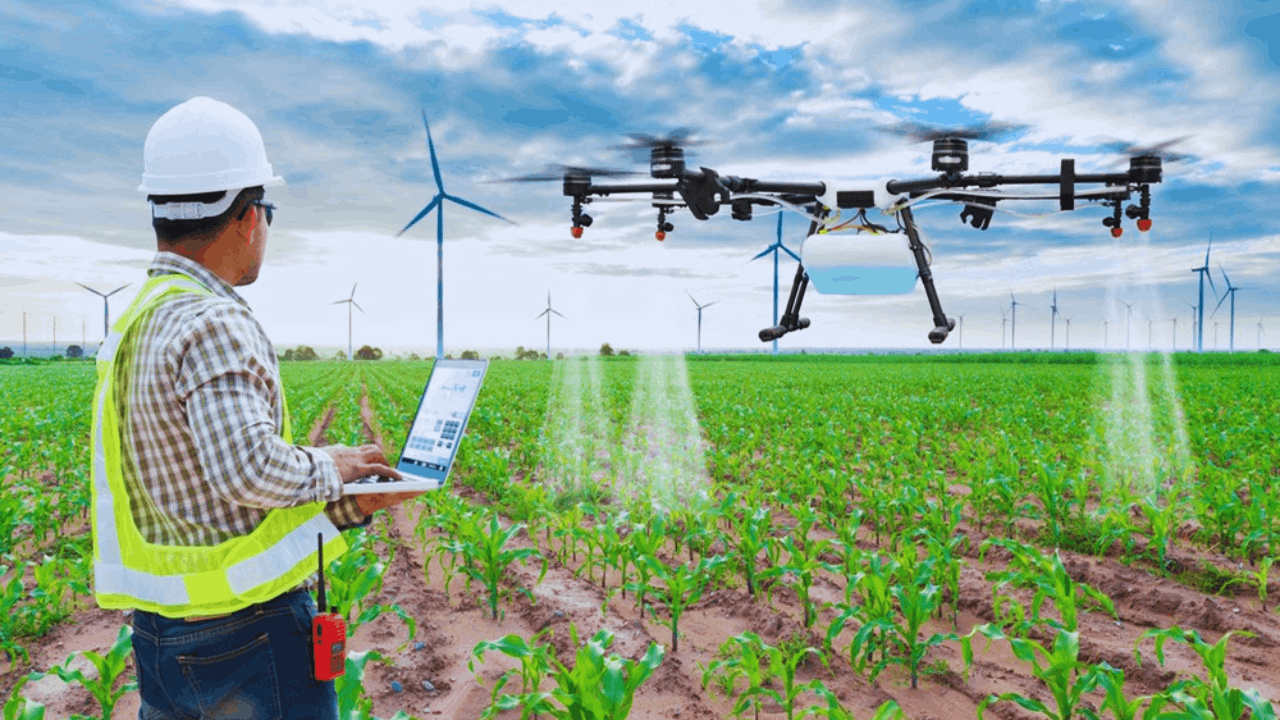
Precision Agriculture Boosts Crop Health
Farmers are using drones to survey land, monitor plant health, and optimize resource use.
New drone models can detect moisture levels, crop stress, and pest patterns using high-resolution multispectral imaging.
The collected data allows for more accurate irrigation and fertilization, improving yields while conserving resources. Smart agriculture is becoming more precise and sustainable with drone support.
Infrastructure Inspection Enhances Safety
Traditional inspections of towers, bridges, and buildings require time, manpower, and physical risk.
Drones now perform these assessments with high-resolution cameras and thermal sensors, reducing human exposure to dangerous conditions.
These missions are completed faster and with fewer disruptions. Real-time analysis and data storage also streamline maintenance planning.
Delivery Systems Revolutionize Last-Mile Logistics
Several companies are piloting drone delivery programs to address last-mile transportation challenges.
These systems reduce delivery times, ease urban congestion, and allow access to remote or restricted areas. Lightweight drones can now carry packages securely and drop them at specified coordinates using GPS.
As regulations evolve, this innovation could become standard for small and urgent deliveries.
Pushing Boundaries With Aerial Imaging and Creativity
Imaging capabilities are at the heart of many drone advancements, especially in media, filmmaking, and design.
As cameras become more versatile and stable, drone operators are creating content that was previously impossible or cost-prohibitive.
High-quality video, aerial mapping, and even 3D modeling are now achievable with compact devices. The creative potential of drones continues to grow alongside their technical capabilities.
Stabilized Gimbals Offer Cinematic Precision
Gimbals are mechanical stabilizers that prevent camera shake during flight. New drone systems feature multi-axis stabilization that maintains smooth video even in windy conditions or sharp maneuvers.
This allows filmmakers to capture complex scenes with minimal editing. The results are cinematic visuals that previously required helicopters or crane setups.
Ultra-High Definition Cameras Redefine Detail
Modern drones now come equipped with 6K or 8K resolution cameras, capturing extreme detail from the air.
This quality supports not only creative work but also technical fields like surveying and modeling.
Combined with advanced lenses, these visuals can track movements, highlight structural flaws, or document changing environments. High-definition imaging makes drone data more usable across different disciplines.
3D Mapping Supports Architectural Planning
Architects and urban planners are using drones to generate accurate three-dimensional models of sites.
These maps help visualize changes, optimize design layouts, and communicate concepts to stakeholders. Drones collect data from multiple angles quickly and with fewer interruptions.
This method is proving valuable in both small-scale renovations and large development projects.
Expanding Emergency and Environmental Capabilities
Emergency responders and environmental researchers are finding new uses for drone technology that were not previously possible.
From disaster response to wildlife tracking, drones offer fast deployment and valuable insights in the field.
These applications often occur in dynamic or hazardous areas, making drones essential tools for observation and intervention. Their flexibility and reliability provide advantages over traditional methods.
Disaster Relief Efforts Gain Speed and Reach
Drones are now used to assess damage, locate survivors, and deliver supplies in disaster zones.
Their speed and agility allow responders to cover more ground in less time without risking additional lives.
Imaging systems help identify structural issues or road blockages from the air. These insights guide rescue missions and accelerate recovery.
Environmental Monitoring Detects Ecosystem Changes
Researchers are using drones to monitor forests, coastlines, and habitats with greater detail.
From tracking wildlife migration to mapping deforestation, drones collect data that informs conservation efforts.
They can fly low, hover quietly, and access areas that are otherwise difficult to reach. Continuous monitoring helps detect patterns before they become critical issues.
Firefighting and Hazard Mapping Improve Response
Specialized drones assist firefighters by identifying hotspots, measuring temperatures, and guiding suppression strategies.
Equipped with thermal cameras, they provide views through smoke and over rugged terrain.
These insights increase safety and improve decision-making during wildfire management. Real-time data supports faster, more effective containment strategies.
Enhancing User Experience Through Design and Software
As drone technology grows more advanced, developers are also focused on making devices easier and more intuitive to operate.
New user interfaces, safety features, and automated functions make drones accessible to a broader audience.
More straightforward controls and more intelligent systems reduce barriers for beginners while expanding options for experts. This dual approach strengthens adoption across skill levels and industries.
Gesture and App-Based Control Increase Accessibility
Some drones can now be piloted using hand movements or simple mobile app inputs. These features eliminate the need for large controllers and make the operation more intuitive.
Whether for casual users or field professionals, the learning curve has decreased significantly. Accessibility encourages broader exploration and creative use of drone features.
Smart Return-to-Home Enhances Flight Safety
GPS-based return systems allow drones to automatically return to their starting point when the signal is lost or the battery runs low.
New versions add environmental awareness, allowing safer landings and route adjustments.
This protects both the device and the surrounding people or property. Flight safety becomes more reliable through embedded intelligence.
Cloud Integration Supports Data Management
Flight logs, images, and video are now often stored and processed in the cloud.
This integration enables faster sharing, collaborative editing, and secure backup of important files.
For teams or businesses, cloud platforms support real-time coordination across locations. The result is a better workflow and data handling at every level.
Conclusion
The continuous growth of drone technology is transforming how we capture data, interact with environments, and solve problems in daily life.
From farming and construction to emergency response and filmmaking, the possibilities continue to expand. Embracing these technologies opens the door to faster, safer, and more creative solutions in the modern world.


